
Nestled in the northern suburbs of Brisbane, Wavell Heights has a history as dynamic as the city it calls home. The traditional custodians of this land are the Turrbal people, who have lived here for thousands of years, maintaining a deep connection with the area long before it was known as West Nundah.
In the mid-1920s, this land began its transformation from farmland to suburbia and by the time World War II broke out, Wavell Heights was almost fully developed, with homes dotting the landscape where pineapple farms and dairy operations once thrived.
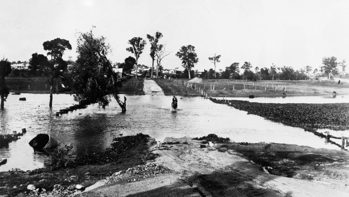
The 1920s saw several major floods in Brisbane. Wavell Heights, situated on higher ground compared to other suburbs, was less affected by widespread flooding; however, localised flooding occurred in lower-lying areas of the suburb, particularly near creeks and natural watercourses.
The suburb’s name change is a tale of wartime necessity and local pride. In 1941, residents grew frustrated with the confusion caused by sharing the name “West Nundah” with its neighbouring suburb. The local progress association rallied for a new name and two options emerged: Inala and Wavell Heights. The latter was chosen, paying homage to Field Marshal Lord Wavell, a prominent leader of the Allied Forces during World War II. The choice reflected the community’s wartime spirit and desire for a distinct identity.
Post-war, Wavell Heights continued to flourish. In 1948, a Neighbourhood Society was established, focusing on community development. The Brisbane City Council donated a site at the corner of Edinburgh Castle Road and Fourteenth Avenue, where an ex-army hut was transformed into a local hall. This site grew to include a memorial hall, a kindergarten, bowling greens and facilities for Scouts and Guides, becoming a hub of community life.
From Farmland to Thriving Suburb
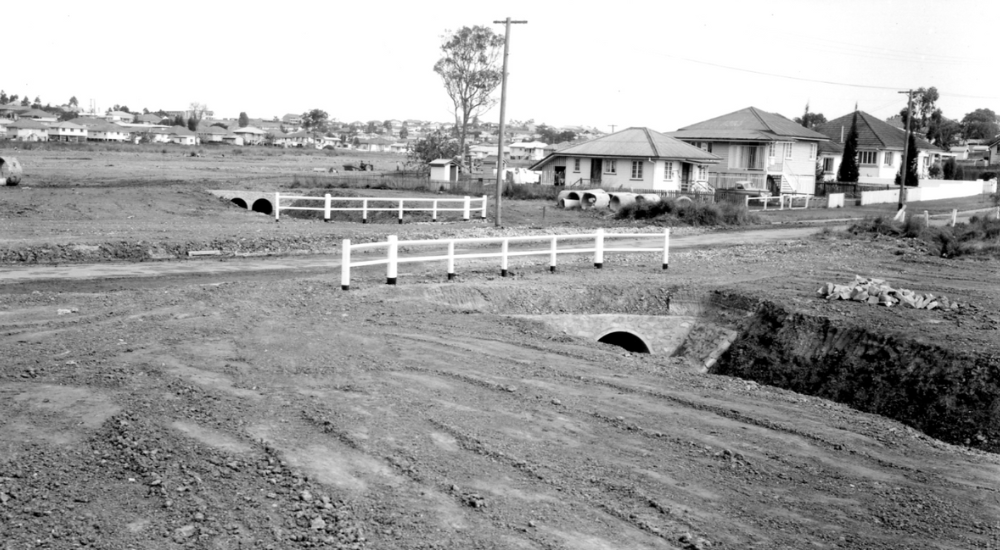
Image Credit: Brisbane City Council Library BCC-B54-16739
The suburb saw significant residential development, including War Service and Housing Commission homes alongside private sector estates. Educational institutions quickly followed, with Wavell Heights State School opening in 1948, enrolling nearly 1,000 students by 1963. The Catholic primary school opened its doors in 1950, followed by the state high school in 1959, which became one of Queensland’s largest, boasting over 1,500 students by 1964.
Wavell Heights’ landscape also evolved, with recreational areas laid out along Kedron Brook’s swamplands. However, similar proposals for Downfall Creek never came to fruition. Today, a linear park marks the back of newer housing estates near the creek, preserving some green space amidst suburban growth.
As of the 2011 census, Wavell Heights had a population of 9,435, reflecting a steady increase from the 8,255 recorded in 1986.
Read more stories from the Chermside Guide’s print magazine here:
- Chermside Connect: Updates from the Community
- What’s Hot Around Town
- Writers Unite for Inspiration at Local Convention
- Hospital Giving Day Aims to Expand Child Therapy Services
- Chermside Bowls Club’s Pink Day
- Adam Harvey Plays Country Favourites at Kedron-Wavell
- A Paw-Some Day Out for Four-Legged Pals
- Get Storm-Ready at Free Family Expo
- Tropical Threads Meet Fundraising Feats at Fancy Dress Disco
- Takin’ It to the Streets
- Choral Showcase A Symphony of Community Spirit
- A Gym for Everyday People: Muscle Garden Brisbane
- Church Op Shop Thrives with Charitable Community Spirit
- Heroic High Scores: Brisbane’s Gaming Expo Created for Veterans